Exploring Bainbridge Island’s Lost Coast © Liesl Clark
Who owns the shoreline?
This is the question we’re asking after walking one of the most beautiful stretches of Bainbridge Island’s coastline. The mile-long stretch of nearly house-free shore had very few plastics along it, too. Does this prove that the plastics are washing down into our waters from our homes? Possibly.
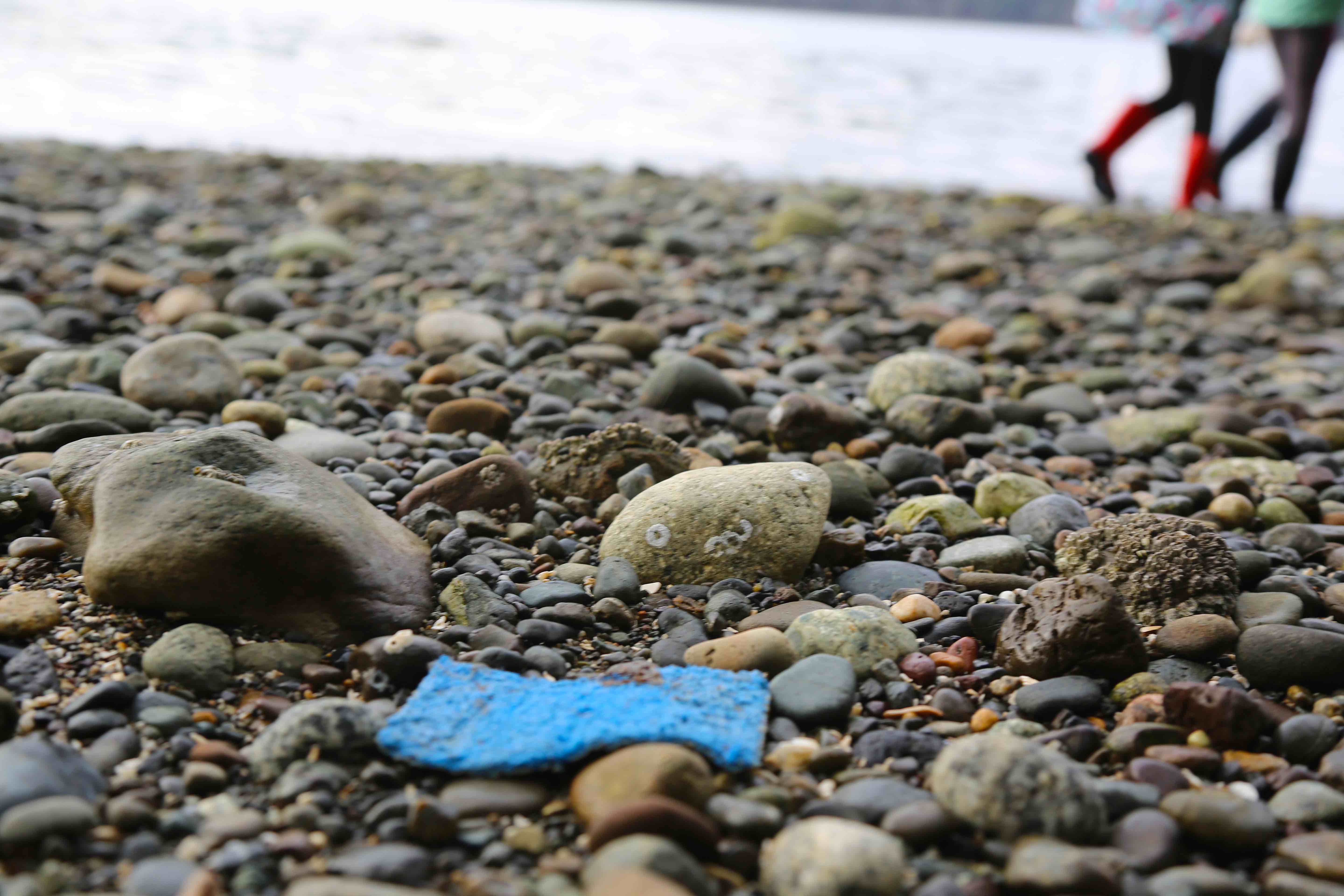
Kitchen Sink Scrubby. They’re Made of Plastic Fibers. Try a Plastic-Free Alternative. © Liesl Clark
This gorgeous stretch of beach lies along the southwest side of the island, skirting Port Orchard Bay and leading up toward the Poulsbo Marina in the distance. There’s about 2 miles of water between this shore and Bremerton’s shoreline, and the tidal currents move through here pretty swiftly, leaving little ability for plastics to make purchase ashore. Yet they still do.
Water Skiing Anyone? © Liesl Clark
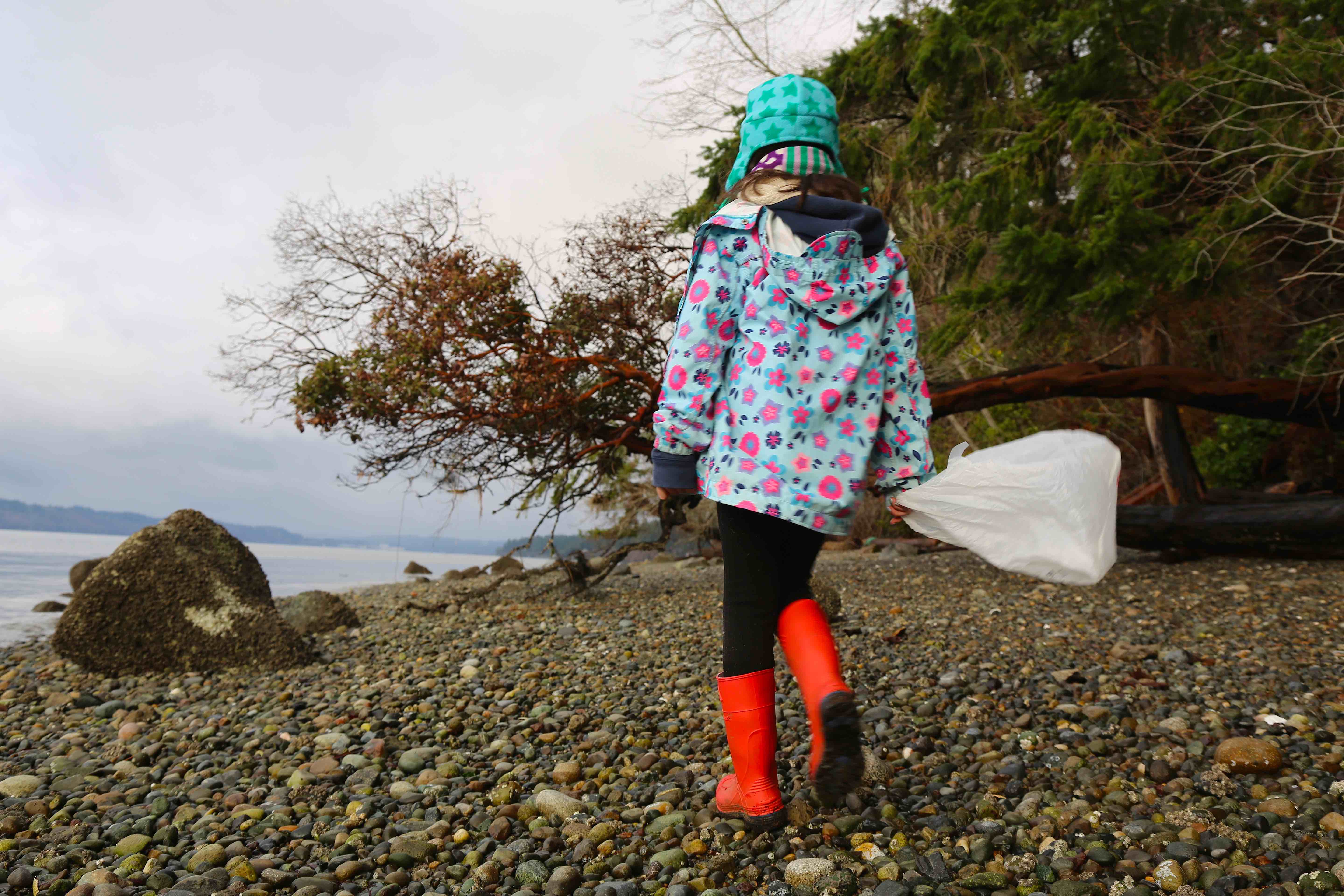
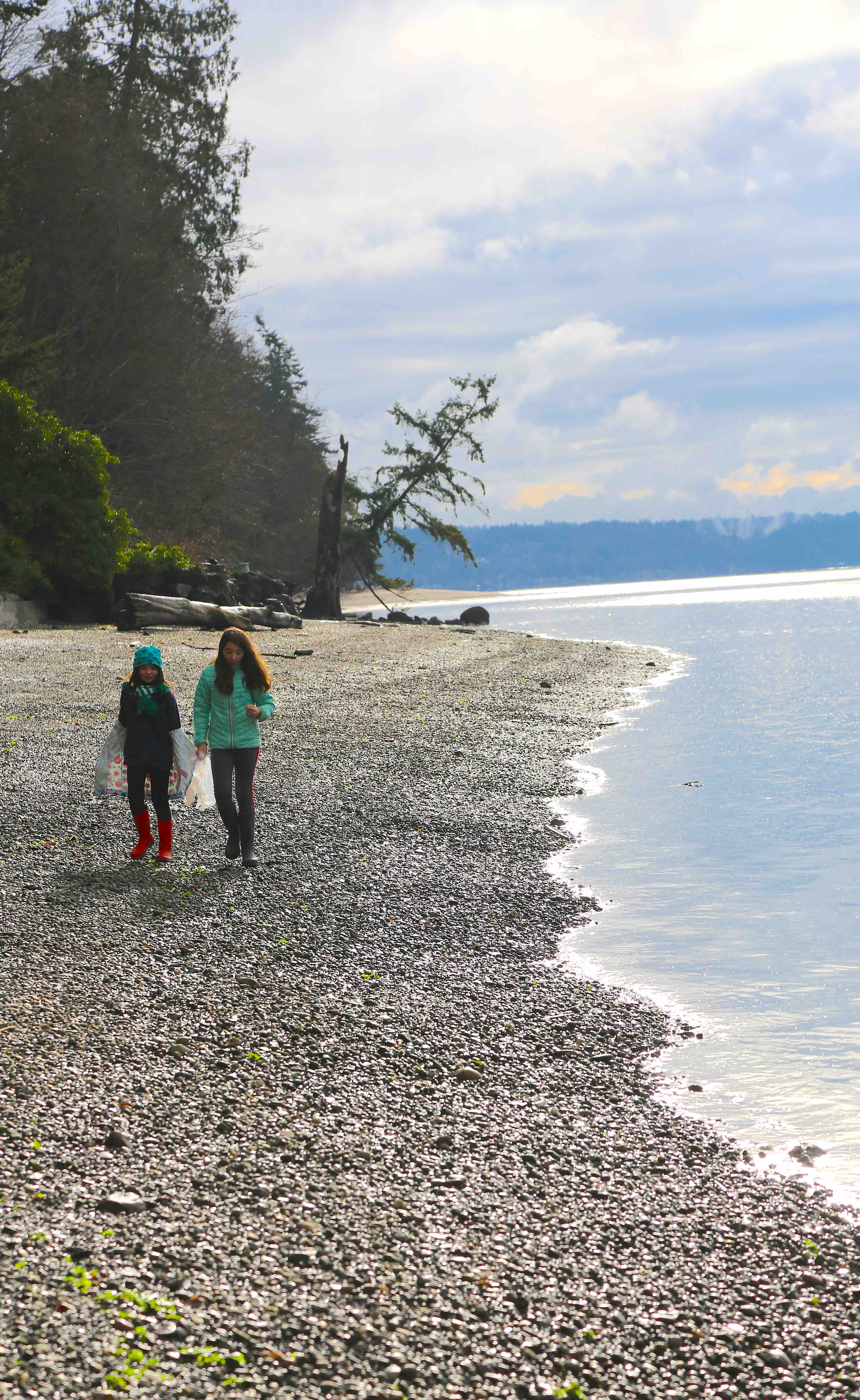
The Lost Coast starts with a hike down the Close Property Trail to the rocky shore. It’s a classic Northwest coastal hike through old douglas firs and ferns, the trail switch-backing down the steep green scape to the water. We turned right and headed north, my two children and one of their good friends. Everyone had a bag in hand, to pick up plastics, or pretty shells and rocks. We had a feeling this stretch of shore wouldn’t have many plastics because we come here often and only find the occasional offender.
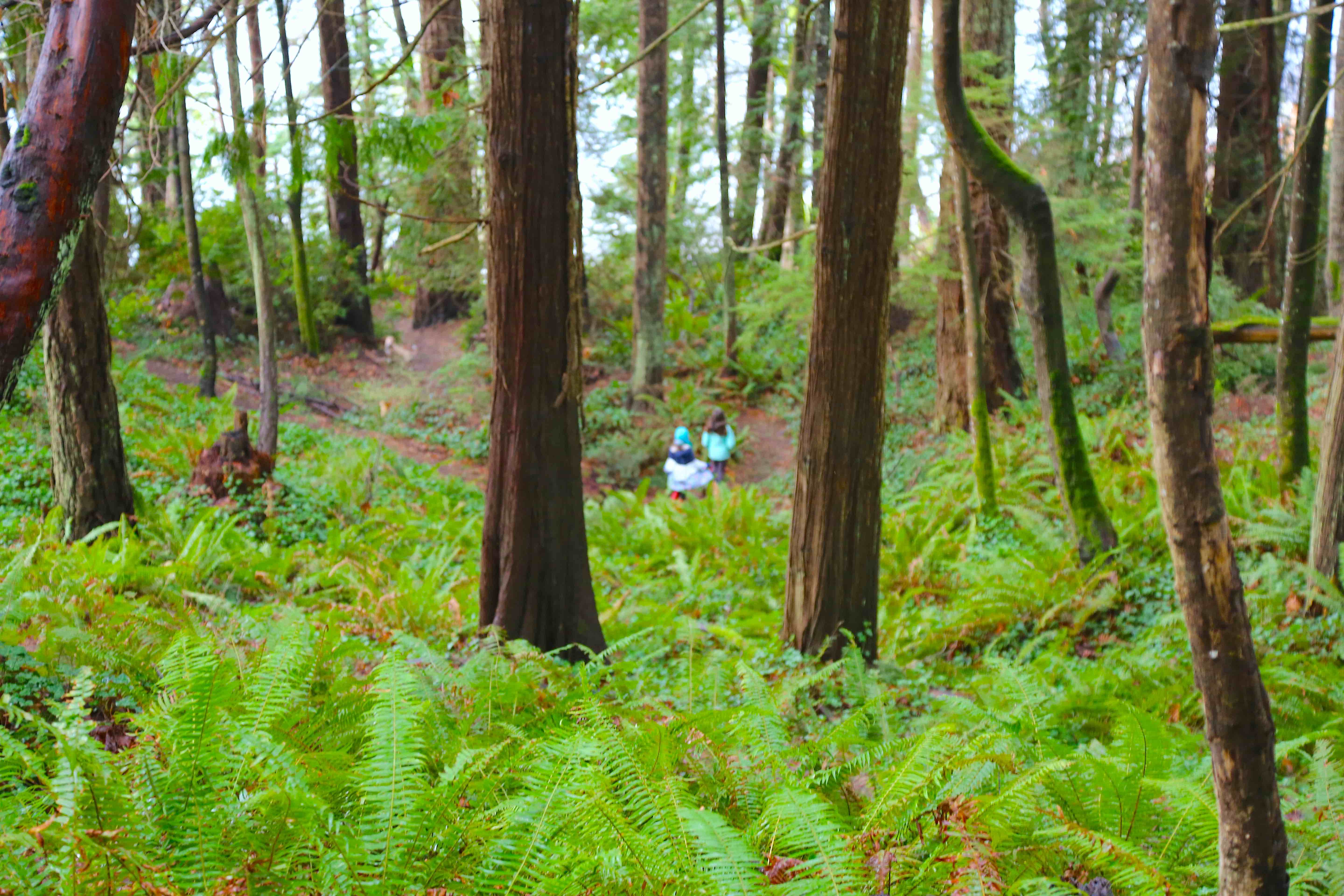
Hiking Through Ferns on the Close Property Trail © Liesl Clark
A high bank leaves jungle for us to enjoy, with a few properties that have carved out a beach presence, stashing their plastic lawn furniture in the brambles. It’ll only be a matter of a few storms before the plastic furniture is set free onto the billowing seas. Some kayaks were imaginatively lashed to trees and a couple of landowners had cool pulley-elevators for getting people and gear down to their stretch of paradise.
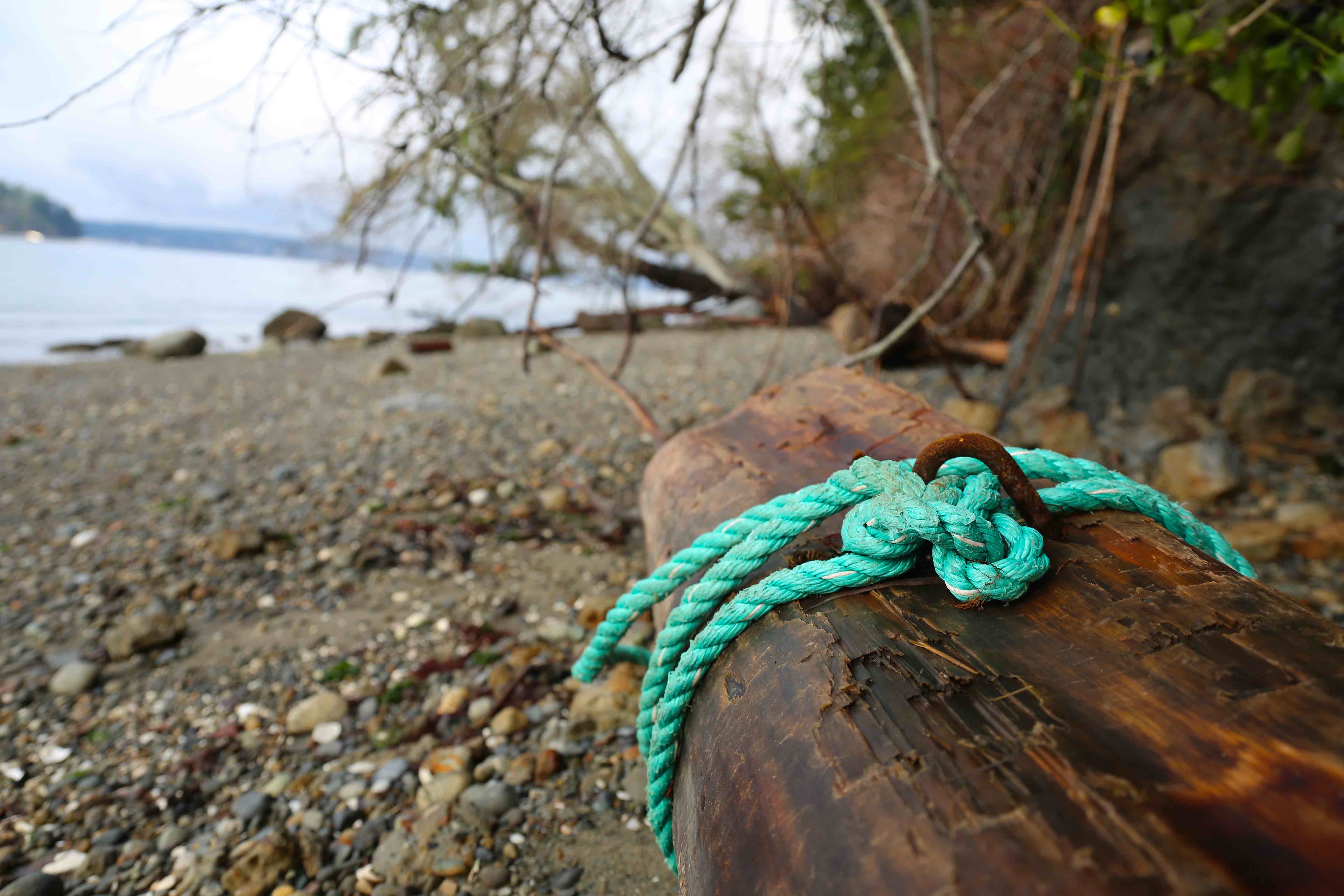
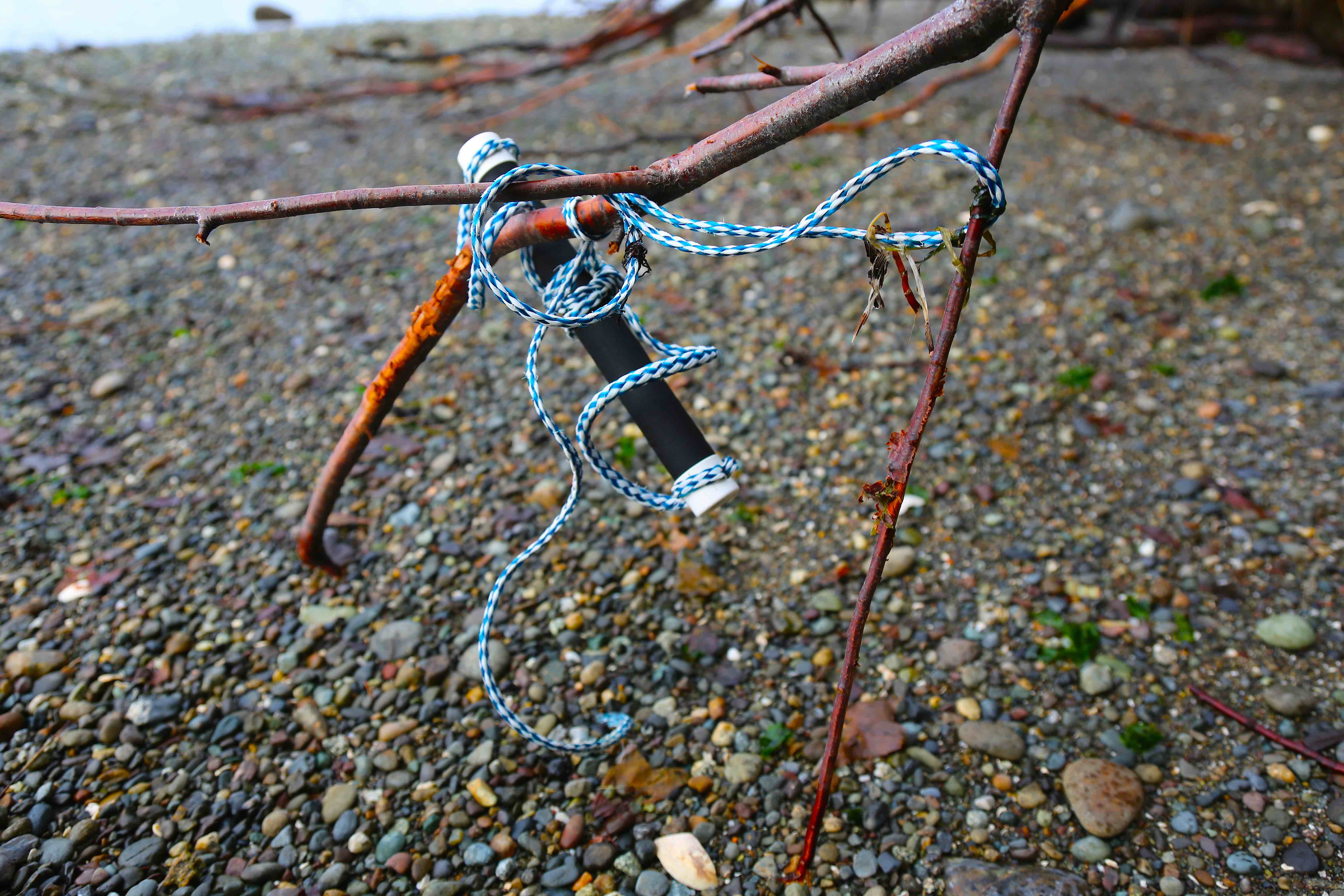
The Ever-Present Marine Rope, Made of Plastic © Liesl Clark
But after about an hour, our walk was cut short by a sign indicating we couldn’t pass.
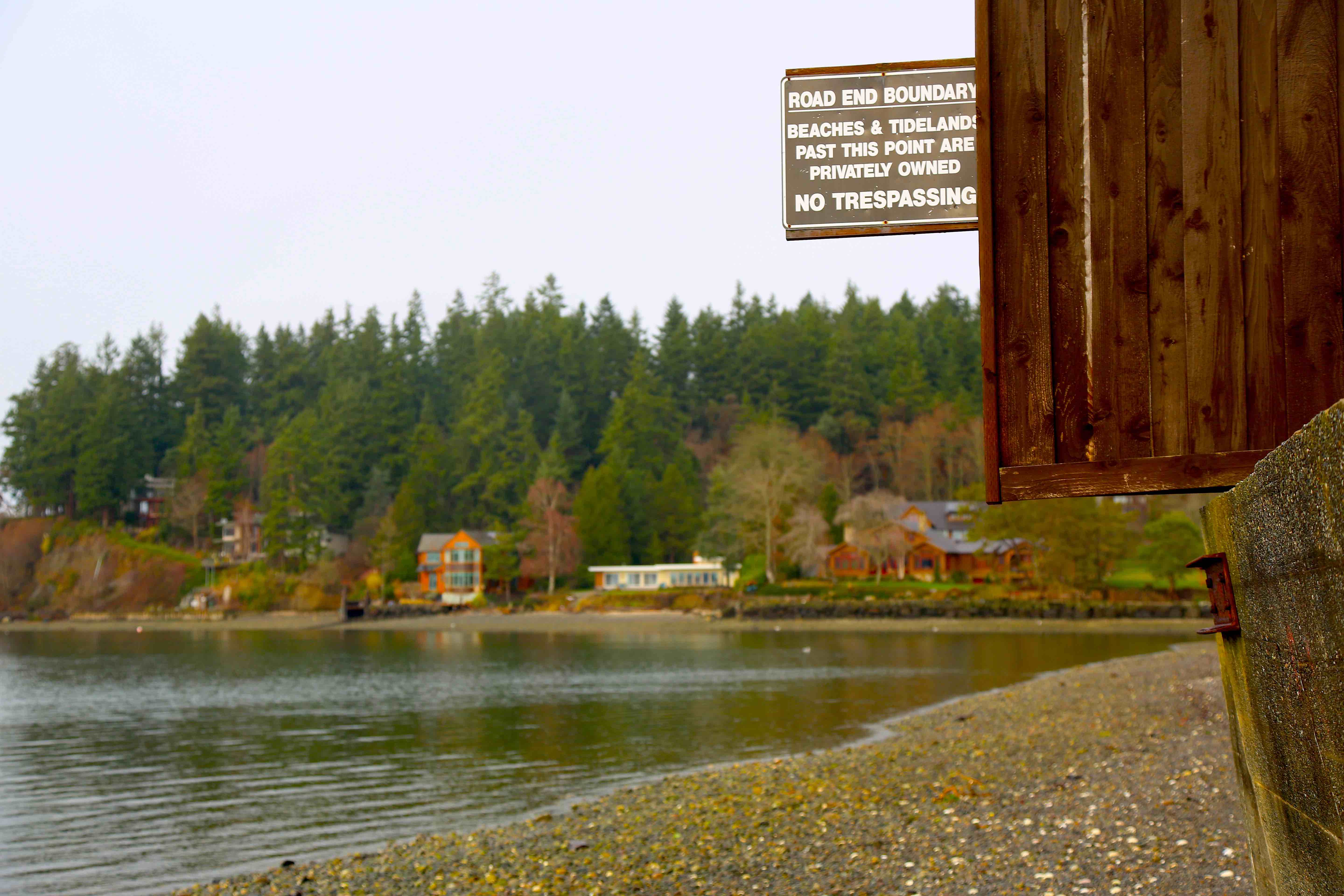
No Trespassing!? © Liesl Clark
Can the beach, even at the lowest mean tide, be privately owned? According to The Public Trust Doctrine, passed down from English Common Law, we have the right, especially at extreme low tides, to walk shoreline beaches, to recreate along the shore’s edge. The thinking is that below the common high tide mark, the land is not privately owned. But some homeowners beg to differ and the state of Washington, in particular, has no final judgement on the matter. Can we cross this section of beach at the lowest winter tide possible to continue our beach plastics survey? Or do we have to take up a friend’s offer to ferry us by row boat past this 100 yard stretch of beach to the other side? Fletcher Bay is a narrow residential bay, one of the significant watersheds of our island, that could hold clues to the question of where our ocean plastics are coming from.

Nursery Plant Tags are a common Beach Plastic © Liesl Clark
Most people think the plastics in our oceans comes from boats. We’re convinced it comes from our homes. Case in point: Those plastic tags you have in a nursery plant pot, giving you the latin name of your purchase and growing instructions. Do we find nursery plants on boats? No. This culprit has washed down a watershed into the salty sea and we plucked it from Bainbridge Island’s Lost Coast.
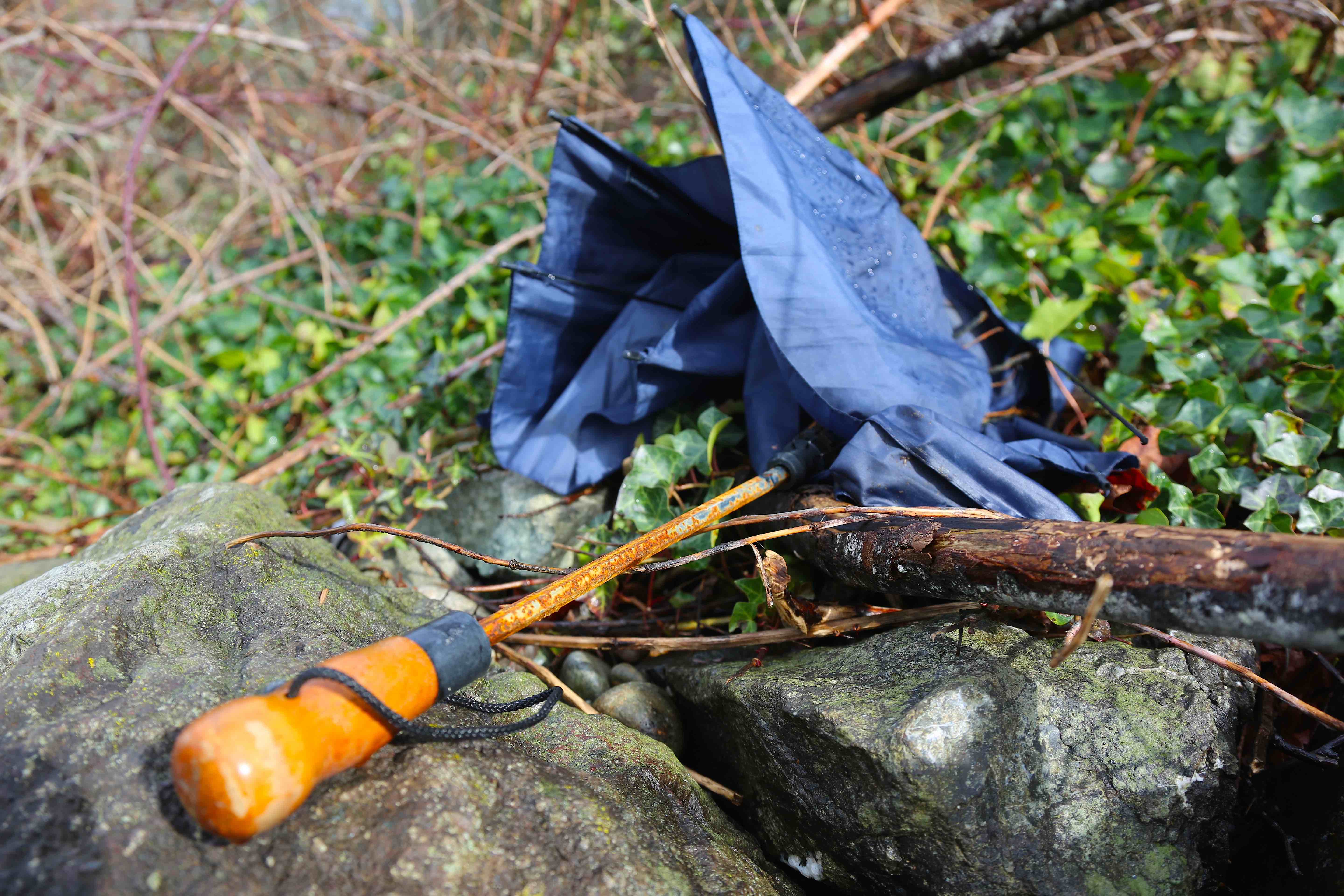
Landed Umbrella © Liesl Clark
If it has plastic in it, even if a small percentage of it is plastic, you’ll find it on the beach. I don’t think there’s anything made of plastic that we haven’t found washed ashore. The tally from our Lost Coast walk included, shoe soles, lots of styrofoam pieces, motor oil containers, plastic toys, and easily a hundred meters of marine rope.
If you’d like to join us on a leg of our circumnavigation of Bainbridge Island, to see for yourself, just let us know in the comments.
Bainbridge Island’s Lost Coast. The Most Plastic-Free Stretch of Beach on the Island. © Liesl Clark
Read about the previous leg on our circumnavigation of Bainbridge Island.


